Welcome to Haapajärvi
Additional information
Familiarize:
The location’s web page
Autioranta-Oksava, Autioranta-Oksava villages
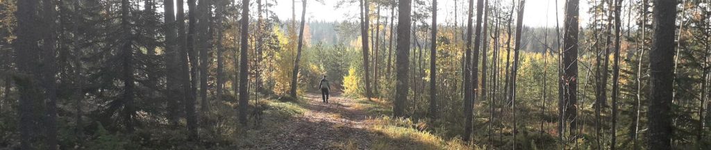
• Iso-Kuuhinko and Hanhilampi route
• Autioranta fitness trail
• Oksava fitness trail
• Ancient Päijänne paddling route
Settijärvi circuit, Koposperä village
• Jokela village bike/mountain bike route
• Kurkineva bike/mountain bike route
• Village-to-village bike/mountain bike route
Tynnyrikoski nature trail, Kumiseva village
• Sun trail
• Härkäaho bike/mountain bike route
• Ancient Päijänne paddling route
• Village-to-village bike/mountain bike route
Kuona-Välioja village
• Kuona circuit
• Mutka circuit
• Kuona fitness trail
• Village-to-village bike/mountain bike route
Sauvi-Somero outdoor area
Kuusaa-Jokela villages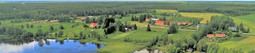
• Hullun polku (Crazy Path)
• Kaarlon kierros (Kaarlo’s Route)
• Hanhenpesän lintutorni (Hanhenpesä Bird Tower)
• Village-to-village bike/mountain bike route
Siiponkoski/Haaga-Tiitto villages
• Kumpujen polku (Path of Hills)
• Saaren reitit (Island Routes)
• Myllynkedon kota (Myllynketo Lean-to Shelter)
• Ancient Päijänne paddling route
Shared routes of the villages
• Ancient Päijänne paddling route
• Village-to-village bike/mountain bike route
Haapajärvi accessible nature sites
• Myllynkedon kota (Myllynketo Lean-to Shelter)
• Väliojan koulu (Välioja school)
• Kylätalo Eurola (Village Hall Eurola)
Haapajärvi accessible nature sites
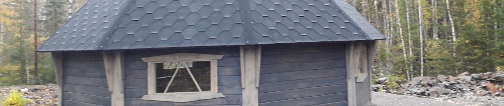
Myllynkedon kota (Myllynketo Lean-to Shelter), Siiponkoski
Directions: From the center of Haapajärvi, drive on Tiitonrannantie for approximately 4.3 km, then turn right onto the pedestrian path, continue for about 0.4 km, and you will reach Myllynketo Lean-to Shelter. The trail starts by turning right from Myllynketo Lean-to Shelter along the pedestrian path for about 100 m, then turn right at the suspension bridge. Signposts near the bridge guide hikers into the terrain.
Myllynketo Lean-to Shelter is 29 square meters, and additional facilities include a fishing pier, dry toilet, and eco-point storage.
All structures are wheelchair accessible.
Kylätalo Eurolan laavu (Kylätalo Eurola lean-to shelter), Kuusaa
Directions: From the center of Haapajärvi, drive on Ouluntie (Road 58) towards Kärsämäki for approximately 22 km, then turn left onto Harjuntie. Kylätalo Eurola, where the trail starts, is immediately on the right.
In the courtyard of the village hall, there is a large lean-to shelter with a fireplace and benches. The services of the village hall are available upon request. There is an accessible toilet indoors.
For more information and bookings: www.kuusaa.com
Väliojan koulun kota (Välioja school lean-to shelter), Välioja
Directions: From the center of Haapajärvi, head towards Pyhäjärvi on Highway 27, drive for about 6.6 km, then turn right onto Väliojantie and drive for about 0.3 km. Välioja school is on the left, where the trail begins.
The large lean-to shelter is suitable for people with disabilities. For more information: www.kuona.fi.
Shared routes of the villages
Village-to-village route 49 km
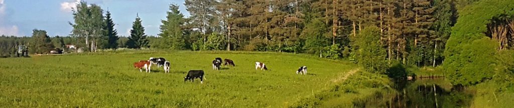
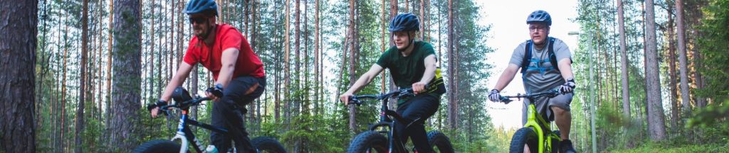
The Village-to-Village route is a shared bike/mountain bike route among four villages, starting from the southern part of Haapajärvi in Kumiseva village, continuing to Välioja. From Välioja, the route proceeds to Koposperä village hall, then to Kuusaa village hall in the northern part of Haapajärvi. The route is signposted in the terrain and can be traversed in the opposite direction. It is also possible to join the route from intermediate points and ride shorter sections.
The route mainly passes through village landscapes, with the nationally valuable agricultural landscape of the Kalajokilaakso region leaving its mark. At times, the route dives into the wilderness, then returns to the village environment. The route mainly follows field and forest roads, with some short stretches on main roads. In the northern part, the route passes near a wind farm. The Village-to-Village route has easy and moderate sections.
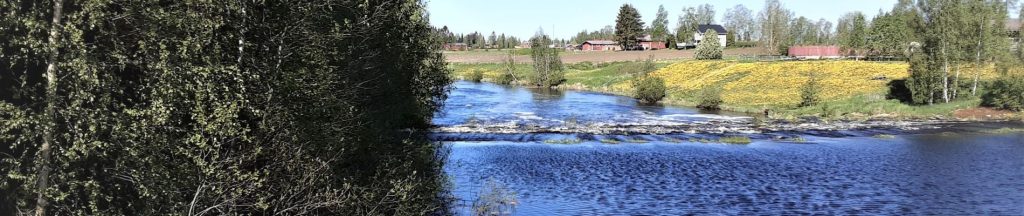
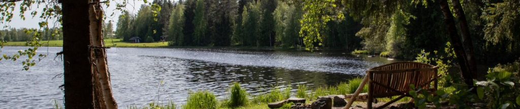
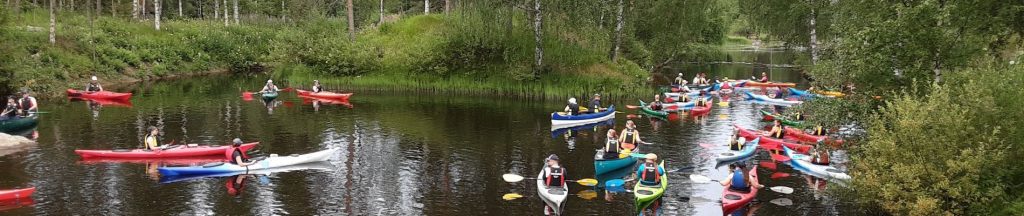
Ancient Päijänne paddling route 14 km
Haapajärvi’s most majestic and beautiful water body, the Ancient Päijänne outlet, brings the magnificent flow of the ancient Central Finnish lake towards the Gulf of Bothnia, cutting through the Pitkänkangas ridge formation near Kumiseva-Ylipää. Thus, Haapajärvi’s waterways were formed. The Ancient Päijänne paddling route is a shared route among three villages involved in a project: Kumiseva, Siiponkoski, and Autioranta-Oksava.
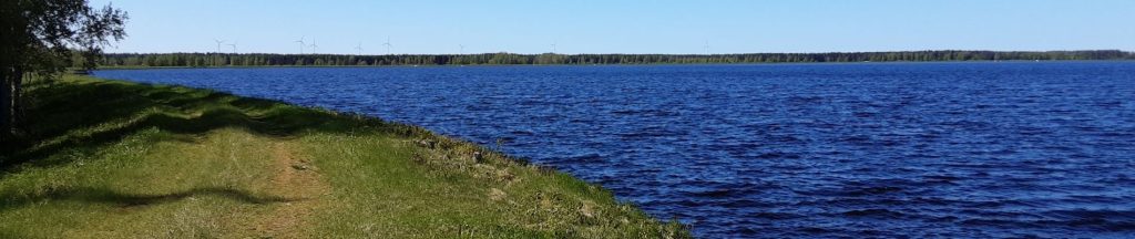
The paddling route starts from Honkaniemi on Mustolanjärvi in Kumiseva village. The route begins with calm, forest-bordered waters. Gradually, the landscape changes to village and rural scenery. Upon reaching Haapajärvi town center, the journey continues along the Kalajoki River, the main river of the region. In the vicinity and center of Haapajärvi, there are two official landing places, at Karjalahti Manor and Ronkaala Sports Center. The distance from the starting point at Mustolanjärvi to Haapajärvi town center is 7 km. The journey continues to Siiponkoski, where the river flows calmly.
Upon reaching Siiponkoski, you enter an archipelago-like environment. Paddlers can choose which side of the islands to navigate. As you approach Siiponkoski River Centre, there are rocks in the water, so it’s advisable to paddle cautiously and calmly in this area. There’s an opportunity to take a break in Siiponkoski. The journey continues from Siiponkoski to the Settijoki beach in Oksava. The Kalajoki River flows calmly through the village and rural landscape. There’s a landing spot at Settijoki beach.
The route has no rapids and is easy, suitable for novice paddlers. However, caution is advised in Ylipäänjärvi’s narrows, Lemmensilta bridge, and when approaching Siiponkoski Jokikeskus due to rocks. The route is not marked in the terrain.